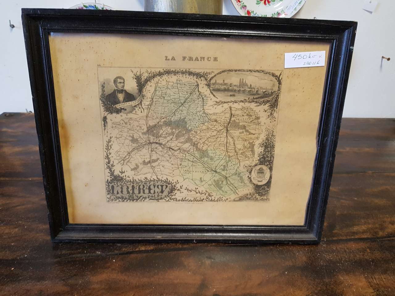
Tableau – Carte LOIRET (France) avec portrait et veduta EDIMBOURG (carte gravée)
ID: s20116
Catégorie: Tableaux
Sous-catégorie: Autres
Emplacement: Nouveau magasin
| Dimensions (cm): | |
| Hauteur: | 29 |
| Largeur: | 37 |
| Profondeur: | 2 |
Pays d’origine: France
État: Occasion
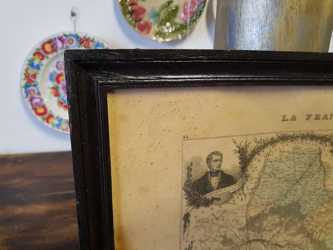
Description: The central part of the work consists of a detailed engraved map of the French department of Loiret. At the top of the map is the inscription LA FRANCE (France), indicating the country of origin. In the upper left corner, there is a portrait of a man in period attire, below which is an illegible text on a ribbon and the expression EDIMBOURG (Edinburgh). In the upper right corner, a detailed veduta of the city of Edinburgh is placed, featuring its characteristic architecture and river. The graphic is executed using the copperplate engraving technique, with delicate hand-coloring of some geographical areas, which adds a visual dimension to the map. The work is set in a simple wooden frame with a black finish. The dating of the graphic is estimated to be mid-19th century, typical for historical atlases and geographical publications of that era. The paper shows signs of oxidation, yellowing, and numerous brown spots (foxing), which are visible across the entire surface of the map and its edges, a natural consequence of material aging. The frame exhibits minor surface abrasions, consistent with the handling of the item over time. The back is protected by the original fiberboard. This historical map represents an interesting collector's item and a decorative element for interiors with a reference to 19th-century geography and history.
450 Kč / €19