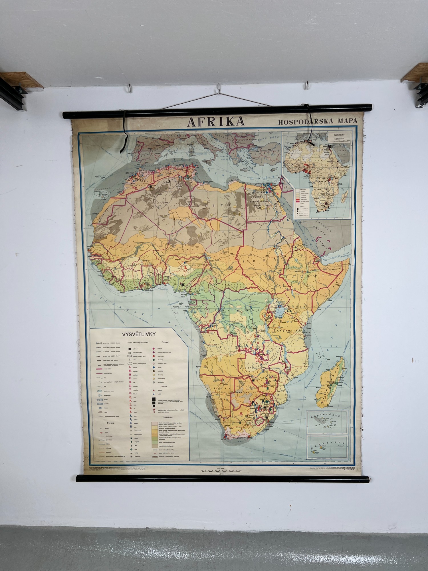
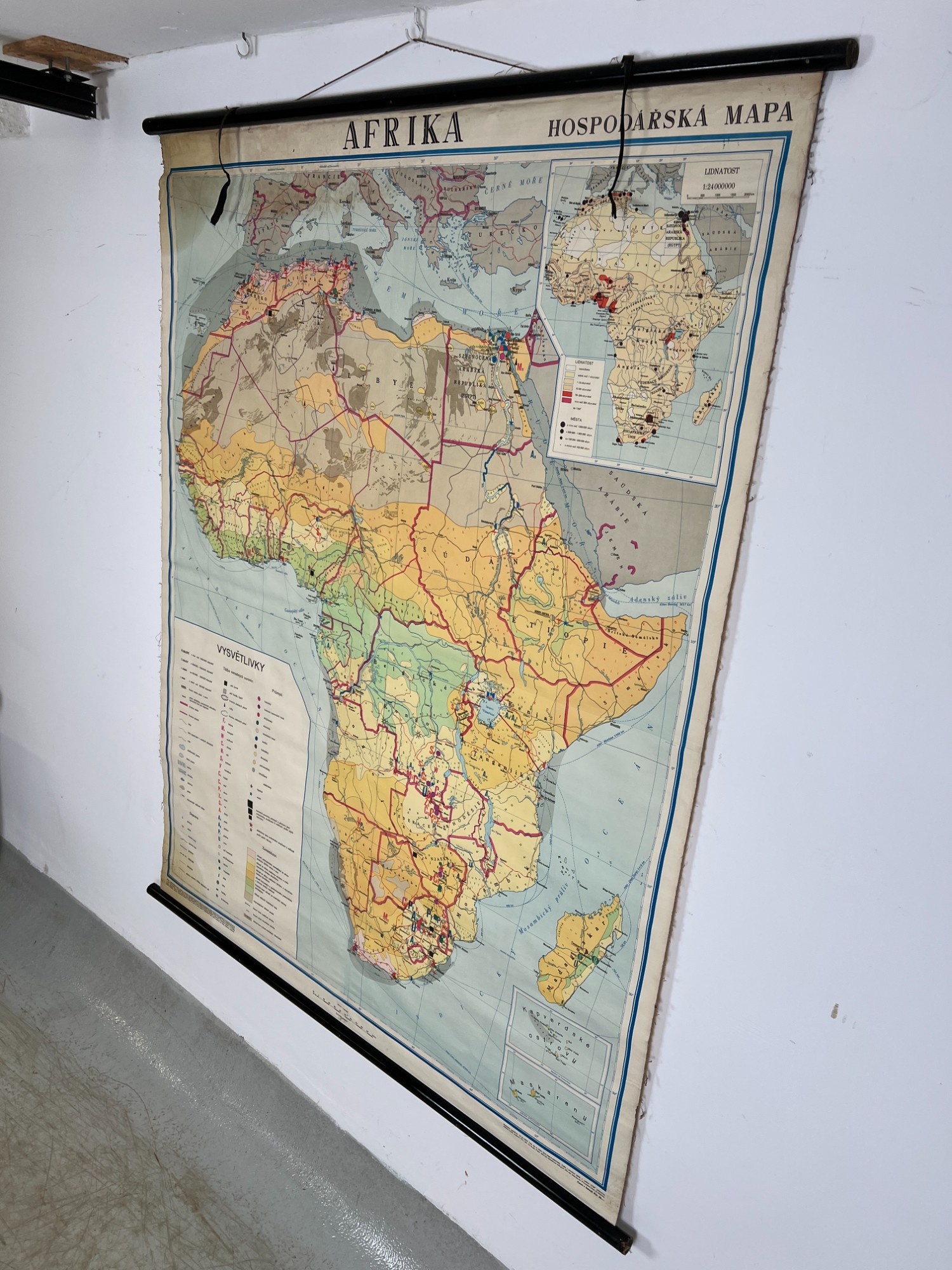
Economic Map of Africa – Prague 1959


ID: s42991
Category: Paintings
Subcategory: Poster
Location: New store
| Dimensions(cm): | |
| Height: | 173 |
| Width: | 140 |
| Depth: | 3 |
Condition: Used
Description: Wall-mounted economic map of the African continent, published in Prague in 1959. The map is labeled "AFRIKA HOSPODARSKA MAPA" (Africa Economic Map) and includes detailed "VYSVĚTLIVKY" (Legend) for symbols and color coding, illustrating the geographical, political, and economic features of the region. Major cities and bodies of water such as "ČERVENÉ MOŘE" (Red Sea), "STŘEDOZEMNÍ MOŘE" (Mediterranean Sea), "ATLANTICKÝ OCEÁN" (Atlantic Ocean), and "INDICKÝ OCEÁN" (Indian Ocean) are noted. A label is affixed to the back of the map with the text: "Nástěnná mapa" (Wall Map), "AFRIKA – HOSPODÁŘSKÁ" (Africa – Economic), "Měřítko 1:8 500 000" (Scale 1:8,500,000), "Praha 1959" (Prague 1959), "SPN n.p. – Státní nakladatelství, Opatovická 30, Praha" (SPN n.p. – State Publishing House, Opatovická 30, Prague). The map is fitted with wooden battens for hanging. The map sheet shows minor stains and edge wear, typical for historical cartographic aids.
900 Kč / €38